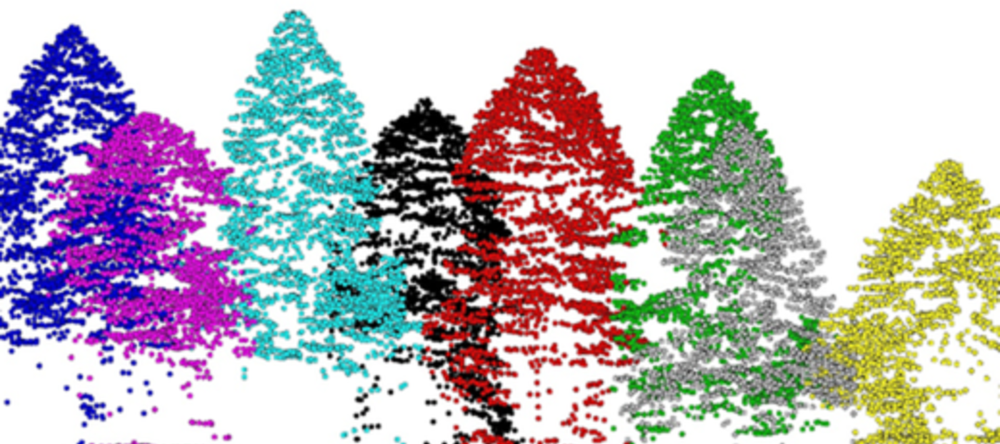
Airborne Laser Scanning ALS is a remote sensing method that is being used in different spatial sciences. It is becoming more and more interesting also in Forestry.
 In forestry, ALS can be used for evaluation of directly measurable stand parameters (e.g. tree height) and for indirectly executed stand characteristics (e.g. growing stock). Increasing trend can be noticed in applications of ALS data also in time series studies.
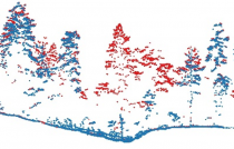
Figure 1: An example of profile view of 3D point cloud before (red dots) and after (blue dots) ice storm
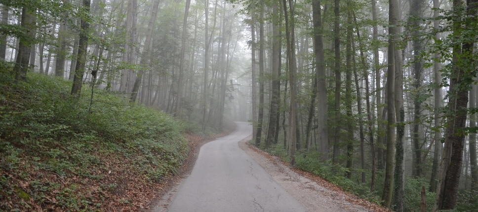
More details are in the latest article in Slovenian Professional Journal of Forestry »Airborne Laser Scanning in Forestry – A Review describes basics of ALS data processing, different spatial scales of ALS data processing (e.g. landscape, forest stand, and single tree). All the presented examples refer to the area of dinaric silver fir – European Beech forests Omphalodo-Fagetum s.lat., FMU Leskova dolina.
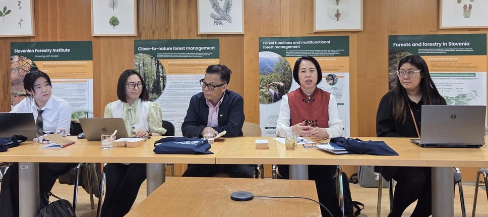
More details:
Dr. Milan Kobal
milan.kobal@gozdis.si
Published: Iztok Sinjur